Topographic & engineering surveys
Orthomosaics, contours, digital terrain models, corridor surveys and accurate project basemaps.
Deploy an experienced crew, the right aircraft and decision-ready outputs—without building an in-house drone programme.
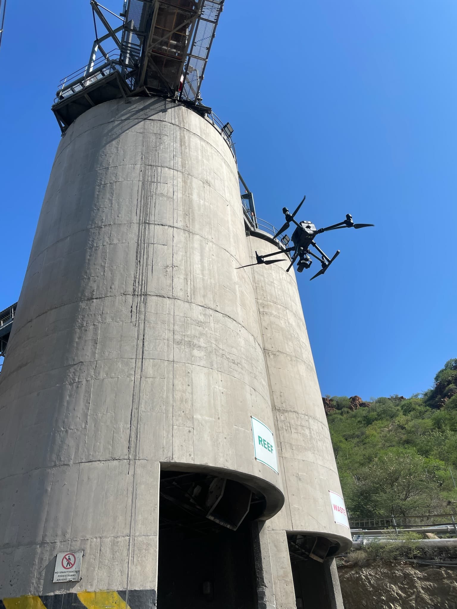
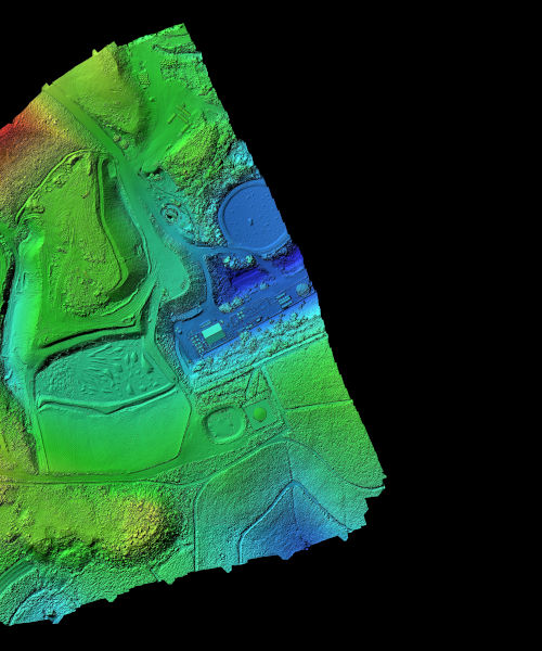
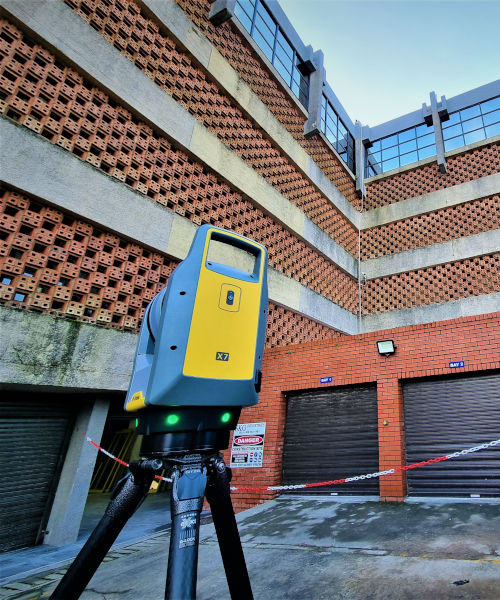
Orthomosaics, contours, digital terrain models, corridor surveys and accurate project basemaps.
Stockpile volumes, pit monitoring, haul-road analysis, progress tracking and rehabilitation monitoring.
UAV-enabled magnetic and sensor missions planned around terrain, safety and the required resolution.
Crop-health mapping, stand counts, stress detection, field scouting and data-led application planning.
Precision aerial application for crops, orchards and difficult terrain with DJI Agras systems.
Thermal and visual inspections for power, solar, telecoms, roofs, towers, roads and industrial assets.
Rapid aerial situational awareness, scheduled patrols and autonomous dock-based monitoring.
Repeatable progress capture, cut-and-fill intelligence, contractor reporting and visual records.
Commercial photography, cinematic video, tourism, property, events and brand storytelling.
Assessment, operational design and deployment of medical, essential-supply and industrial logistics routes.
Diagnostics, preventative maintenance, parts support and enterprise fleet care.
Equipment selection, operationalisation support, compliance planning and enterprise programme design.
Share your location, area, required output and deadline. We’ll recommend the safest, most efficient capture plan.
Request a service quote ↗